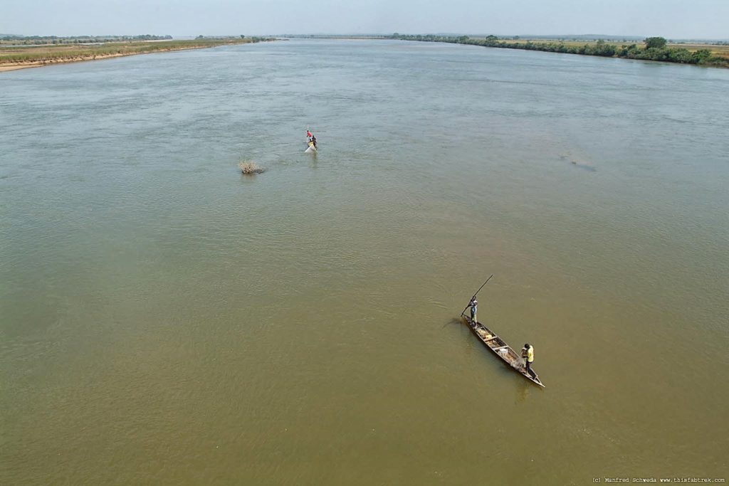
The Nigerian Navy on Thursday, March 16, 2023, unveiled the Navigational Chart of the Lower River Niger as part of efforts towards the development of inland waterway in Nigeria.
The navigational chart was carried out by the hydrographic unit of the navy in collaboration with the Federal Ministry of Transportation and Nigeria Inland Waterways Authority (NIWA).
The project was funded by the Nigeria Export Import (NEXIM) Bank and African Export Import (AFREXIM) Bank with the collaboration of Sealink Consortium.
During the unveiling, the Chief of Naval Staff, Vice Adm. Auwal Gambo, said the joint hydrographic survey campaign was flagged-off on Nov. 24, 2021 covering Phases 1 and 2.
Gambo said the project, which extended from Lokoja in Kogi to Burutu in Delta, was one of a series of initiatives undertaken by the Federal Government toward actualising economic diversification.
He said the unveiling of the charts was crucial towards the exploitation of the vast strategic reserve of mineral resources along the Lower Niger Basin with great prospects for Nigerian’s economic diversification.
This, according to him, is expected to boost tourism potential, create more job opportunities and increase economic viability.
“It would also reduce pressure on road infrastructure, as bulk cargos would be transported through the channel.
“Furthermore, successful opening of this River Channel for navigation will accelerate activation of concessioned inland ports and export processing zones for handling bulk cargoes from coastal areas and export of solid minerals as well as agricultural produce.
“Thus, the ceremony we are gathered here today is yet another testimony to the resolve of the Federal Government towards evolving comprehensive mechanisms to emplace sustainable infrastructure through public private collaborations,” he said.
The naval chief thanked President Muhammadu Buhari for his unflinching support to the Nigeria Navy toward actualising its constitutional mandate.
He assured Nigerians of the willingness of the navy to sustain partnership with critical stakeholders under the collaborative initiative to complete the development of the river channel towards creating vibrant maritime activities along the basin.
He said the Nigerian Navy was poised to provide standard hydrographic service delivery to all mariners within the nation’s maritime environment towards facilitating sustainable blue economy in Nigeria.
The Managing Director of NEXIM Bank, Mr Abba Bello, said the project would go a long way in advancing NEXIM Bank’s current initiative and advocacy on the promotion of the operations of inland waterways for both hinterland and intra-coastal trade.
Bello said River Niger and River Benue were historically considered by the British merchants as the most navigable river channels used in the late 19th century.
He said Burutu port served as a link between river transport and the sea.
He added that it served as a port terminal for the Royal Niger Company and UAC for export cargo consolidation.
He said it was also used for discharging of goods from ships for onward water transport to river ports in Northern Nigeria and neighbouring French territories through River Niger and River Benue.
According to him, the cessation of the use of the Burutu Port in mid-1970s substantially led to considerable level of disuse of the river channel for mercantile trade, leading to siltation of the channel over the years that resulted in navigational challenges.
“Therefore, this informed the decision to partner with Afreximbank, Nigerian Navy and NIWA to undertake the survey/charting exercise.
“The information to be gleaned from the unveiling ceremony will no doubt provide a guide on the current state of navigability of the river channel.
“It would be catalytic to ensuring the design of a framework that would enable channel improvement works necessary to facilitate the commencement of massive commercial operations on the channel, especially for Regional Sealink Project.
“Also, information provided from the outcome of the survey/charting activities will highlight the huge inland waterways potential and opportunities in maritime infrastructure investments,” he said.
The President, Afreximbank, Prof. Benedict Oramah, said the bank provided a grant of $350,000 for the execution of the project.
Oramah said the grant was because of the critical role that navigability of the River Niger would play in the country’s trade facilitation and indeed overall developmental aspirations.
“We salute the steadfastness of our partners in this arrangement – Neximbank, who coordinated the activities of other agencies like the NIWA and the Nigerian Navy to birth this initiative that will definitely change the narrative in waterways transportation in Nigeria,” he said.
Giving the overview of the project, the Hydrographer of the Nigerian Navy, Rear Adm. CE Okafor, said the survey covered 1,140 square kilometers and 456 kilometers from Jamata in Lokoja to Burutu in Delta.
Okafor said the project was executed with 100 per cent local capacity, adding that the field data acquisition was conducted in 14 months nonstop.
He said a total of 81 underwater obstructions were detected as well as other challenges that must be addressed to ensure effective navigation on the river by a wide range of vessels.
He recommended the dredging of the navigational routes, circle and anchorage among others, as well as wreck removal.
Present at the occasion were the Secretary to the Government of the Federation, Boss Mustapha, Minister of Transportation, the Attah of Igala, HRM Matthew Opaluwa, among others.
By Sumaila Ogbaje