The Nigerian Erosion and Watershed Management Project (NEWMAP), which came into existence about five years ago with seven states, has expanded and now operates in 19 states.
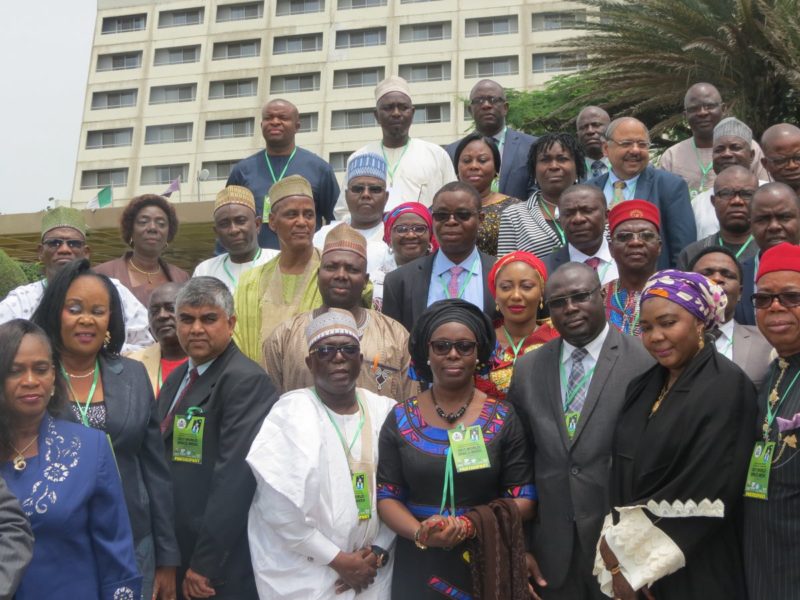
National Coordinator of NEWMAP, Mallam Salisu Dahiru, who made the disclosure in Abuja on Wednesday, October 4, 2017 during the opening of the International Conference on Geo-Spatial Technology, disclosed that the development was informed by achievement recorded by the first mover (seven) states under the project.
“The project has been expanded with a total of 19 states in partnership,” he stated, adding:
“Average achievement of physical works and bio-remediation in the 21 initial sites of the first seven states is over 89% with 65% of the sites now fully completed. Fifty-nine new sites designs have been cleared and approved for implementation.”
According to him, the project has disbursed over N865 million to 1,337 project affected persons as resettlement for loss of lands, houses and economic trees, among others.
“Over N140 million has been paid as grant to 4,194 beneficiaries on livelihood enhancements activities. Recently, NEWMAP commenced the distribution of fuel efficient cook stoves to communities across the 21 sites to reduce pressure on the land,” Dahiru pointed out.
He emphasised that the integrated watershed management approach, mixture of civil works and bio-remediation, as well as the livelihood and community participatory aspect made NEWMAP attractive to a considerable number of stakeholders.
“That was why, initially, 11 states indicated the desire to to start off the project. However, seven states – Abia, Anambra, Cross River, Ebonyi, Edo, Enugu and Imo now referred to as the first mover states – were objectively considered and selected,” he said.
He added that management is striving to make the project better. “And to enhance the sustainability of the project is why we are reaching out to other climes, especially where there are flagship World Bank projects like the Karnataka Watershed Programme in Bangalore and the China Irrigation and Drainage Development Centre (CIDDC).
He recalled that NEWMAP was created after several attempts by Nigerian governments. “In less than five years of the project existence, it has recorded tremendous evidence-based success stories in improving the livelihoods of the people, thereby impacting positively to environmental sustainability,” Dahiru stressed.
Tagged the SSKE (South South Knowledge Exchange) Knowledge Fair, the three-day conference was organised by NEWMAP in conjunction with the World Bank and the SSKE.
Kofi Nouve, representative of the World Bank Country Director, Nigeria, said: “The World Bank is pleased to work with Nigeria to convene a knowledge fair to share South-South experiences across China, India, and Nigeria, and also to help showcase other examples of global good practice. This is part of the World Bank’s mission and also supports our work in open data, and improving the use of appropriate modern technology in the programmes we support.
“The world, in particular the IT world around us, is changing quickly and it is important that as professionals we stay abreast of new developments to be able to provide our clients with the most effective and efficient solutions to poverty alleviation.
“I urge you all to participate fully, freely; share knowledge and experiences, and build stronger national and international professional networks. I wish you all a great knowledge sharing experience and I look forward to your taking steps to translate this into a new generation of modernisation in your activities.”
Dahiru had expressed optimism that the conference would “proffer opportunities for projects like NEWMAP, benefit from a wide range of experts from various government, academic, watershed and producer groups for a community of best practices. It will also impact on critical activities including gully restoration design, landscape restoration, agricultural and pastoral improvement and application of remote sensing for more effective project management.”